Find out what the models and forecasters say the upcoming 2024-2025 winter has in store for Oregon & Washington in terms of snow totals and ski quality.
Winter 2024-2025 Outlook for the Pacific Northwest
Note! This article is printer-friendly and can easily be made into a PDF. Just open the “Print” dialog in your browser and find the “Save to PDF” option.
Table of Contents (click to jump ahead)
- Recap of '23-24
- General Outlook for '24-25
- Staying Informed as Winter Develops
- First Turns of the '24-25 Season: Halloween
- High Pressure Blues
- Climax
A Recap of Last Winter (2023-2024)
El Niño rises
Much was made around this time last year about El Niño and how it might affect our snowpack going into the winter. Most people who love snow in the mountains were a bit sad to see the three-in-a-row streak of La Niñas come to an end. In the end, it was a tail of two niños which bifurcated roughly along the Columbia River.
To the south of the Columbia, in Oregon, we had a pretty good winter with solid mid-winter powder skiing and excellent corn snow that lasted well into July. After Jan 10, the snowpack could be characterized as “consistently above average”.
Northward in Washington (and British Columbia, for that matter) it was a different story with a meager snowpack clocking in around 60% of average as of early February 2024. And then the cold water faucet turned on for us, just after Cinco de Mayo, and set up one of the more memorable glacier skiing seasons in recent years with good coverage found on the Washington volcanoes well into August 2024.
General Outlook for '24-25
Back to La Niña
As of Mid-September, a La Niña Watch is in effect with the expectation that it will emerge in the September-November period.
La Niña in the PNW tends to produce normal to below average temperatures with above average precipitation. Often, this breaks down around the turn of the year with things reverting back to the mean sometime after January 1. But not this time. The seasonal forecast discussion from NOAA concerning La Niña in the PNW forecasts that the goodness will persist through the January-March period.
Ski quality
So that covers precip and temperature forecasts, but what does that mean in practical terms? Well, with low temperatures and above average precip, we would presume that ski quality will be better than average this winter.
One of the persist threats these days to our snowpack is the atmospheric river. This known colloquially as a pineapple express because it brings moist, warm air from the Pacific tropics to the northwest. Warmer air is able to hold more moisture than colder air, so these events can be very destructive to the snowpack as they can produce prolonged periods of intense rain at elevation. Rain is warmer than snow and it can percolate deeper into the snowpack than intense solar radiation, so the snowpack diminishes rapidly during such events.
There's no original wisdom here, but our advice is simply to get it
while it's good. That said, we expect there to be a lot of
good this winter with hopefully steady and cold snowfall
interrupted by occasional atmospheric rivers.
Lastly, our region tends to produce a two week long period of high pressure in the back half of January or the front half of February during which there's nice, sunny weather without any precipitation. In a La Niña year, this might be a good window in which to schedule a trip.
Implications for you
Develop a task list for yourself to make sure that when the snowpack starts developing in earnest, you're poised to take advantage of it.
- Decide what gear you need to purchase, if any
- Learn how to use your gear and tour effectively
- Lock in an avalanche course to learn about snow, avalanches, and trip planning
- Start researching touring opportunities, including trailheads, sno-parks, and common backcountry ski runs
One of the best (and cheapest) things you can buy for yourself is a subscription to digital mapping software. We like and recommend CalTopo but there are many others. You will receive a free 30-day trial code for CalTopo any time you book a course or guided day with us, and we wholeheartedly recommend purchasing a subscription for the long-term.
A paid subscription will allow you to access more advanced features which will help you make better, more informed decisions about where, how, and when to tour, as well as let you save your tour plans to your account and update them in the field as you ground-truth them. Pro move!
Staying Informed as Winter Develops
Rules of thumb
This is more vibes than science, but if the air temperature is 41 F or colder in Portland and it's raining, there's a good chance that it's falling as snow above 4,000' on the Mt. Hood National Forest. Consider buying a cheap home weather station and watching the temperature reading.
NWCC maps
The National Water and Climate Center maintains an excellent interactive map resource on the web which allows you to easily get "big picture" regional information as well as drill down into specific sites.
Attend NSAW and/or BendSAW
Spend a Saturday in late October attending the Northwest Snow & Avalanche workshop put on by NWAC. This is an annual event and typically concludes with a winter outlook talk given by Nick Bond from the Office of the Washington State Climatologist. NWAC has made many changes in recent years to the NSAW programming and we believe they have found a format that allows both professionals and recreationalists to benefit from attending this event. It's also a good networking opportunity and chance to grow your touring rolodex.
If you're further south, consider checking out Bend Snow & Avalanche Workshop, a.k.a. BendSAW. It's a similarly great event.
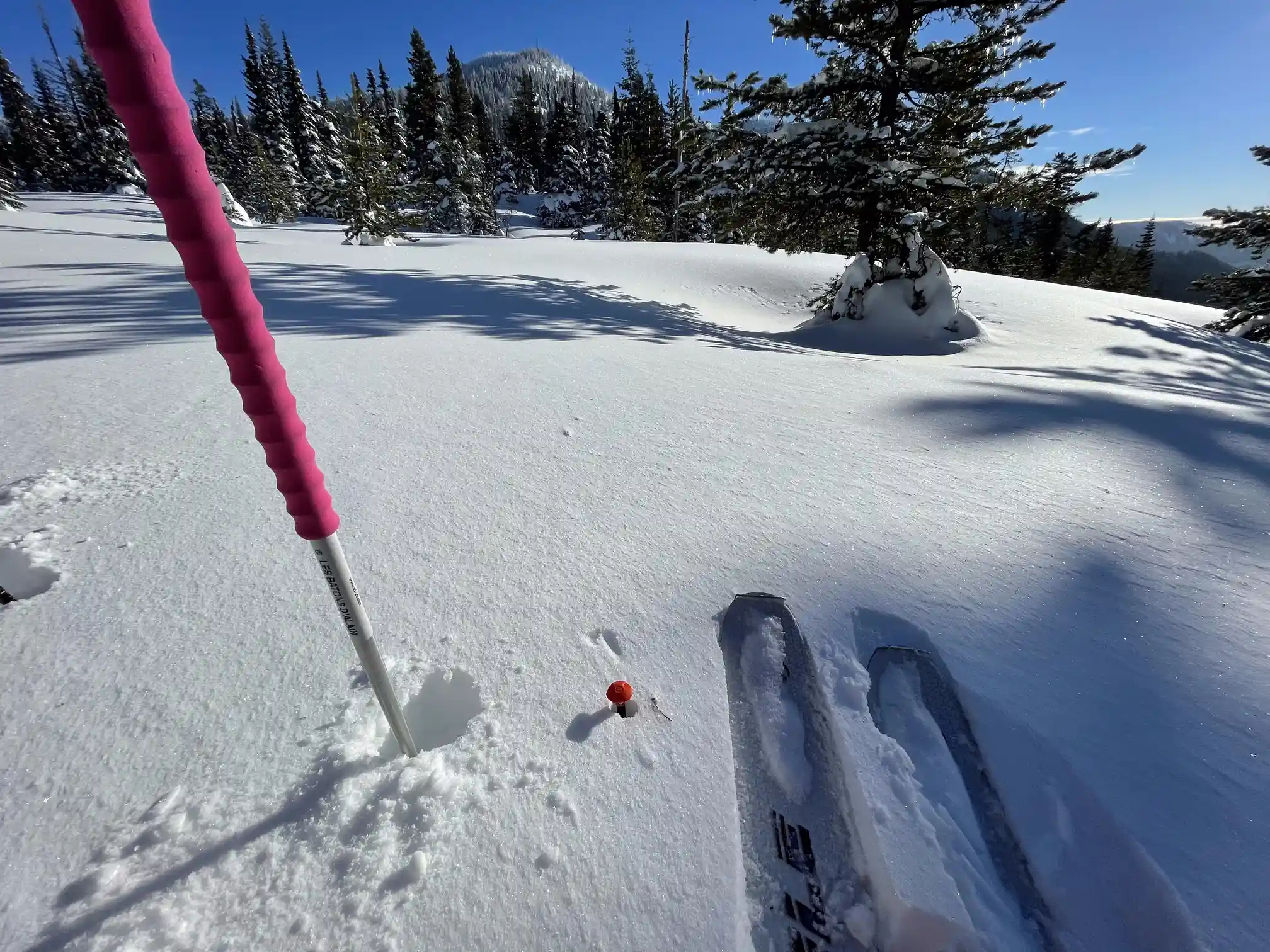
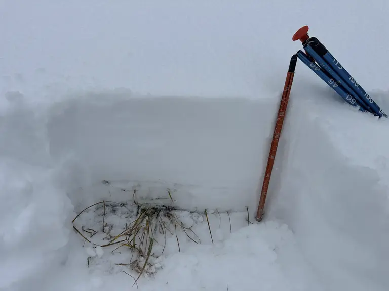
Measure for yourself
We'd be remiss if we didn't use this opportunity to encourage you to develop a practice of daily snowpack awareness. Make it a habit to measure the snowpack whenever you tour and record your information digitally or in a fieldbook. This is one of the skills you will learn on an AIARE 1 avalanche course. When you can't get out, keep tabs on the snowpack using NWAC's excellent and easy-to-use telemetry.
First Turns of the '24-25 Season: Halloween
Timing
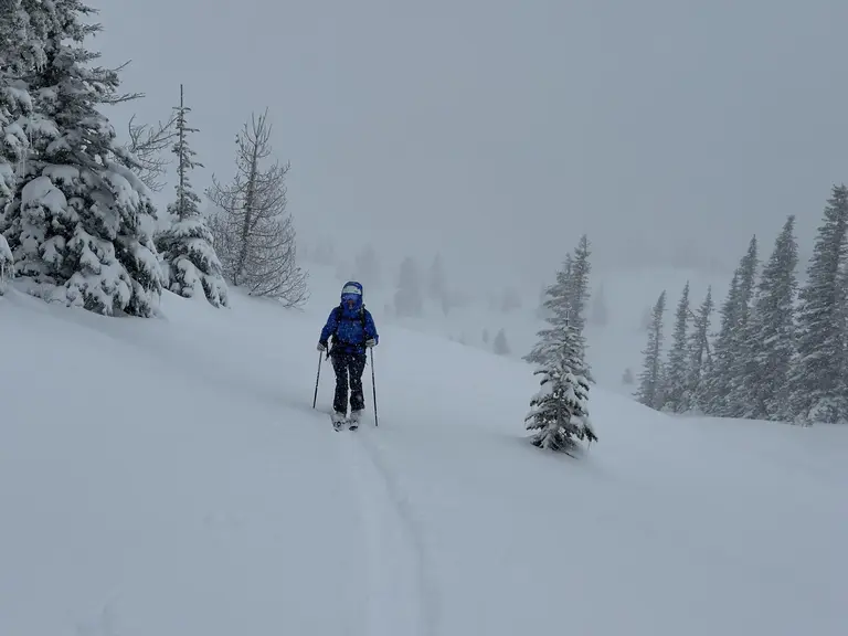
We don't always get to make wiggles in the snow in October, but there's always a decent chance. After a false start or two, Halloween delivered a great, skiable snowpack to Mount Hood and the broader PNW. We slid into home plate with October turns just as the World Series came to an end, in similarly dramatic fashion.
Will the snow that's out there stick around and form the base for our winter snowpack? The forecast isn't clear. There's lots of moisture on the way, but it's unclear as to whether it will fall as frozen or non-frozen water. Then a period of high pressure. Early season skiing at its teeth-gnashing finest.
The Setup
Why was the skiing so good this Halloween on such a thin snowpack? The answer lies in the crucial sequencing of storms that kicked off the season.
Over Monday and Tuesday, about 8” of snow fell at 6,000’. Then the atmosphere took a day off and let the snowpack sit right around freezing all day Wednesday. This encouraged the already-fairly-warm snowpack to further sinter and continue forming crystal-to-crystal bonds. By the time Thursday (Halloween) rolled around, we had already picked up an additional half-foot of snow.
Instability Befitting All Hallows' Eve
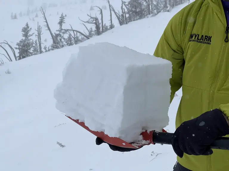
While the snowpack could have been much spookier (see: persistent slabs with confusing spatial variability), we did observe signs of instability even in the 14” that we skied. Shooting cracks under our skis on all aspects, particularly as the day went on, likely due to rising air temps mid-storm were interesting.
It doesn't take much snow to ski (or avalanche, for that matter), especially when you've got a good-enough base and surface snow on the warmer side. We hope your 2024-2025 season is as good as today's turns!
High Pressure Blues
Two Weeks
In early December, region-wide high pressure took hold and we saw warm air temperatures with no precipitation for almost two full weeks (Nov 25 to Dec 7). This took its toll on our snowpack and the near-treeline snow depth lost about 8”.
Back to the River
Since Dec 7, we have gotten a lot of snow (depth rising from 50” to 85”), but temperatures are taking a turn for the warmer and there is an atmospheric river event on the horizon to close out December. So the advice up above remains solid for this season. If there's snow in the forecast, and your schedule allows, try to get out and enjoy it before another atmospheric river makes things soupy. Two steps forward, one step back.
Januardry
The month of January was almost uniformly cold and dry from start to finish. Persist cold, clear nights with unusually cold daytime air temps encouraged the formation of persistent grain types all over our region. This setup conditions for the backcountry ski touring equivalent of star-gazing.
Climax
Early February Delivers
February got off to a stormy start in the first few days but it was really the massive storm which ran approximately Feb 5 – 8 that allowed for ALL-TIME ski conditions on Mt. Hood. This was coupled with generally safe avalanche conditions giving us a week of extremely high-quality skiing and riding from Feb 8 to 13.
Return to Forever
All things must pass. The short window of incredible snow came to a close and promptly gave way to another atmospheric river event in which several inches of liquid water fell on Mt. Hood up to about 8,000'. Once the water faucet turned off, temperatures remained high and the sky remained clear and sunny for about work week.
To put into perspective just how devastating this was to our snowpack, we saw the Mud Ridge SNOTEL site (≈ 4070') at approximately 94% of the 30-year average as of Feb 20. By Feb 28, that was down to 66%. That's due to the combined effects of a serious high-elevation rain event, warm air temperatures, and an increasingly strong sun as we move towards spring.
This article was written & posted on October 13, 2024. We may update this article as key events occur, and we will certainly update it in late April 2025 with a look back at how things turned out in reality, so check back then!


Wylark® is a registered trademark of Wylark Mountaineering LLC.